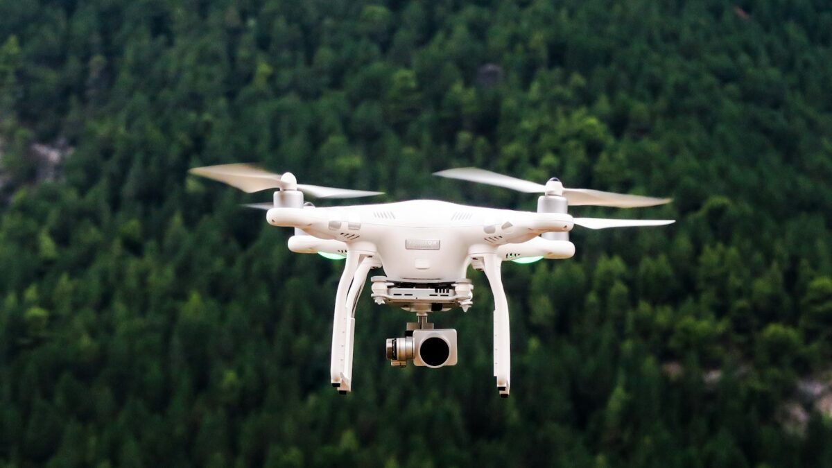
Environmental scans collected from Pokémon Go players over several years helped train a navigation system that is now being applied to military drones, according to reports published in June, reviving a debate about how data gathered through entertainment apps can end up serving purposes users never considered.
From game scans to a positioning system
Niantic Spatial, the geospatial company spun out of Pokémon Go developer Niantic, built what it calls a Visual Positioning System (VPS) using roughly 30 billion scans of real-world locations submitted by players. The system allows a phone, robot or drone to determine its precise position by comparing what its camera sees with a stored 3D model of the surroundings, with no need for GPS.
That capability has obvious civilian uses in augmented reality and robotics. It is also valuable in places where GPS is unavailable or deliberately jammed, which is exactly the problem militaries face in contested environments.
The defense partnership
In December 2025, Niantic Spatial announced a partnership with Vantor, a defense technology company. According to the reports, the arrangement brings Niantic’s positioning technology into drones and autonomous systems operating in GPS-denied areas. Neither company has detailed which specific platforms or customers are involved.
Niantic’s position, as reported, is that players agreed to the use of their scan data through the game’s terms of service. Scanning features in Pokémon Go have for years invited players to capture footage of real-world locations in exchange for in-game rewards, and the company has openly described using that data to build spatial maps.
The ethical questions
Digital ethics specialists quoted in coverage of the story argue that consent given through lengthy terms of service does not amount to meaningful agreement to military use, and that most players would not have imagined their scans of local parks and landmarks contributing to drone navigation.
They also point to a practical problem. Once data has been used to train an AI model, it is effectively impossible to verify afterward whether a given user’s contribution is still embedded in the system, and withdrawing consent cannot undo the training that has already happened.
The episode fits a wider pattern in which datasets assembled for one purpose, often consumer-facing and benign, are later repurposed for others. It raises a question regulators have so far struggled to answer: whether users should have a say when data collected for a game is redirected toward defense applications, and how that say could be enforced after the fact.